فائل:Doyle Peak and Fremont Peak from the east side of Agassiz Peak.jpg

اس نمائش کا حجم: 800 × 600 پکسلز۔ دیگر تصمیمات: 320 × 240 پکسلز | 640 × 480 پکسلز | 1,024 × 767 پکسلز | 1,280 × 959 پکسلز | 2,560 × 1,919 پکسلز | 3,472 × 2,602 پکسلز۔
اصل فائل (3,472 × 2,602 پکسل، فائل کا حجم: 3.82 MB، MIME قسم: image/jpeg)
خلاصہ
| تفصیل |
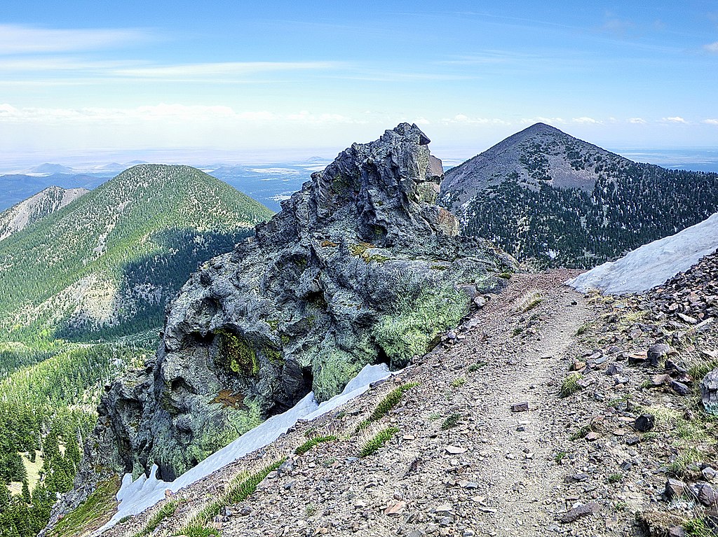
English: Doyle Peak and Fremont Peak in the San Francisco Peak of Arizona. I hiked from Lockett Meadow on the Inner Basin Trail to the Weatherford Trail to Humphrey's Summit in the San Francisco Peaks Wilderness north of Flagstaff Arizona. Looking southeast at Doyle Peak and Fremont Peak from the east side of Agassiz Peak. The Snowbowl is on the other side of Agassiz. |
| تاریخ | |
| ماخذ |
Alpine trail - San Francisco Peaks - Flagstaff AZ
|
| مصنف | Alan English CPA from Scottsdale, Arizona 85254, USA |
| Camera location | | View this and other nearby images on: OpenStreetMap |
|---|
اجازہ کاری
This file is licensed under the Creative Commons Attribution-Share Alike 2.0 Generic license.
- آپ آزاد ہیں:
- شیئر کرنے – کام کو نقل، تقسیم یا منتقل کرنے کے لیے
- ریمکس کے لیے – کام منبطق کرنے کے لیے
- مندرجہ ذیل شرائط کے تحت:
- انتساب – آپ کو اس کام کا انتساب مصنف یا اجازت دہندہ کے بتائے گئے طریقہ کے مطابق دینا ہوگا (تاہم یہ انتساب اس طرح نہیں ہونا چاہیے کہ اسے دیکھ کر ایسا محسوس ہو کہ اصل مصنف یا اجازت دہندہ آپ کے یا آپ کے ذریعہ اس کام کے استعمال کرنے کے حامی ہیں)۔
- یکساں شراکت – اگر آپ اس کام میں کوئی تبدیلی یا ترمیم کرتے ہیں یا اس کام پر مبنی کچھ نیا بناتے ہیں تو اسے بھی آپ اسی یا اس جیسے کسی اجازت نامے کے تحت شائع کر سکتے ہیں۔
| This image, originally posted to Flickr, was reviewed on February 19, 2011 by the administrator or reviewer File Upload Bot (Magnus Manske), who confirmed that it was available on Flickr under the stated license on that date. |
فائل کا تاریخچہ
کسی خاص وقت یا تاریخ میں یہ فائل کیسی نظر آتی تھی، اسے دیکھنے کے لیے اس وقت/تاریخ پر کلک کریں۔
| تاریخ/وقت | تھمب نیل | ابعاد | صارف | تبصرہ | |
|---|---|---|---|---|---|
| رائج الوقت | 20:35، 19 فروری 2011ء | | 3,472 × 2,602 (3.82 MB) | File Upload Bot (Magnus Manske) | {{Information |Description=I hiked from Lockett Meadow on the Inner Basin Trail to the Weatherford Trail to Humphrey's Summit in the San Francisco Peaks Wilderness north of Flagstaff Arizona. You can read the details of the hike at [http://hikearizona.co |
روابط
درج ذیل 2 صفحات اس فائل کو استعمال کر رہے ہیں:
فائل کا عالمی استعمال
مندرجہ ذیل ویکیوں میں یہ فائل زیر استعمال ہے:
- arz.wikipedia.org پر استعمال
- ceb.wikipedia.org پر استعمال
- cs.wikipedia.org پر استعمال
- en.wikipedia.org پر استعمال
- en.wikivoyage.org پر استعمال
- lld.wikipedia.org پر استعمال
- www.wikidata.org پر استعمال