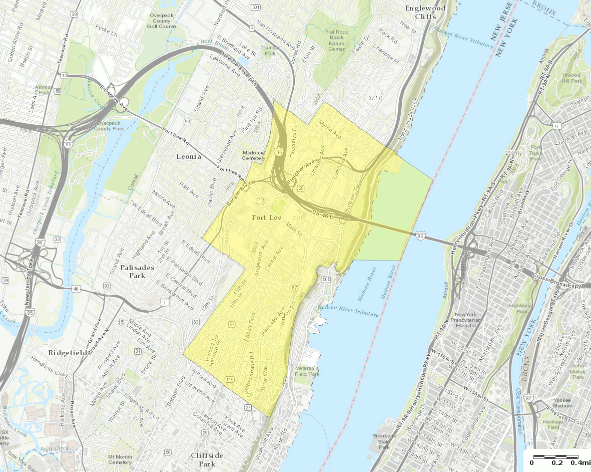
فائل:Census Bureau map of Fort Lee, New Jersey (2).gif
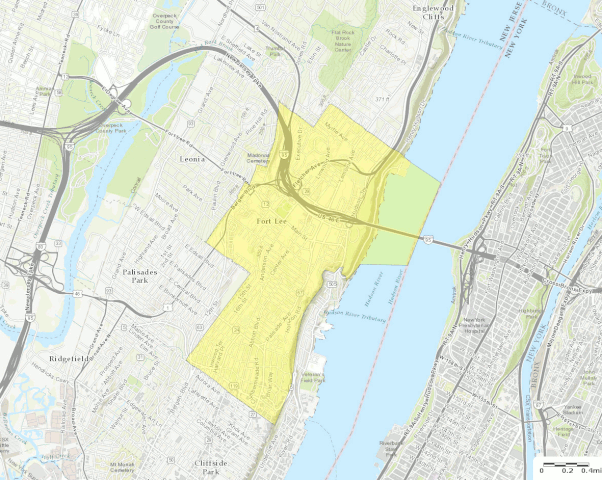
اس نمائش کا حجم: 752 × 600 پکسلز۔ دیگر تصمیمات: 301 × 240 پکسلز | 602 × 480 پکسلز | 963 × 768 پکسلز | 1,181 × 942 پکسلز۔
اصل فائل (1,181 × 942 پکسل، فائل کا حجم: 751 کلوبائٹ، MIME قسم: image/gif، 0.1 سیکنڈ)
.gif)
خلاصہ
| تفصیل |
English: U.S. Census Bureau map of Fort Lee, New Jersey |
| تاریخ | |
| ماخذ | http://factfinder.census.gov |
| مصنف | United States Census Bureau |
| دوسرے نسخے |
 |
اجازہ کاری
This image or file is a work of a United States Census Bureau employee, taken or made as part of that person's official duties. As a work of the U.S. federal government, the image is in the public domain.
|
 |
فائل کا تاریخچہ
کسی خاص وقت یا تاریخ میں یہ فائل کیسی نظر آتی تھی، اسے دیکھنے کے لیے اس وقت/تاریخ پر کلک کریں۔
| تاریخ/وقت | تھمب نیل | ابعاد | صارف | تبصرہ | |
|---|---|---|---|---|---|
| رائج الوقت | 20:58، 13 اکتوبر 2016ء | | 1,181 × 942 (751 کلوبائٹ) | BurritoBazooka | a tad smaller, now that I can see it in the articles |
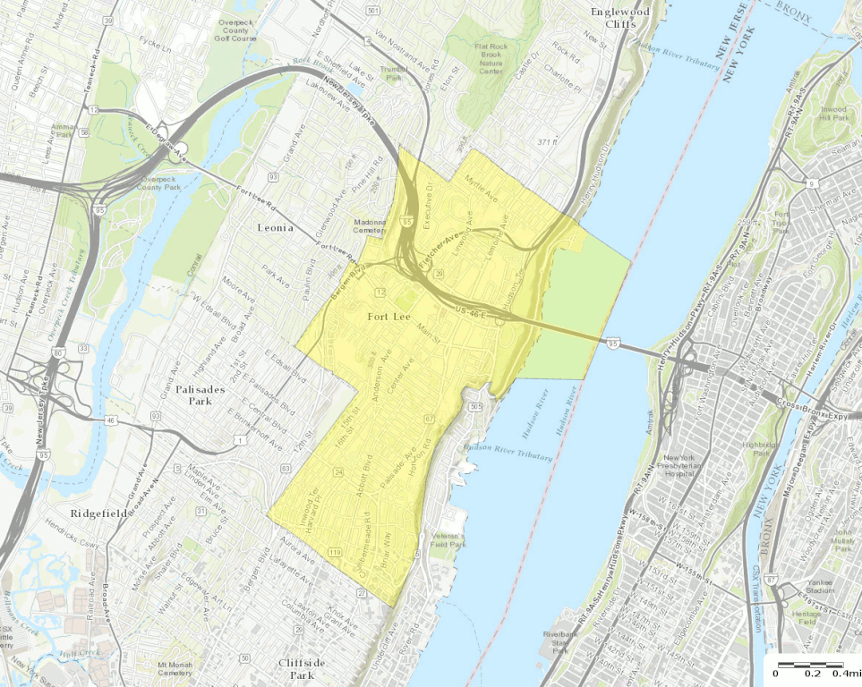
| 20:49، 13 اکتوبر 2016ء |  | 1,787 × 1,300 (1.61 MB) | BurritoBazooka | larger map (but showing about the same surrounding boroughs), with roads labelled and important roads more clearly visible. Primary reason for new upload: to show importance of I-95. |
روابط
درج ذیل صفحہ اس فائل کو استعمال کر رہا ہے:
فائل کا عالمی استعمال
مندرجہ ذیل ویکیوں میں یہ فائل زیر استعمال ہے:
- en.wikipedia.org پر استعمال
- fa.wikipedia.org پر استعمال
- fr.wikipedia.org پر استعمال
- ja.wikipedia.org پر استعمال
- sh.wikipedia.org پر استعمال
.gif)