فائل:Egypt adm location map.svg

اصل فائل (ایس وی جی فائل، ابعاد 1,055 × 973 پکسل، فائل کا حجم: 331 کلوبائٹ)
خلاصہ
| تفصیل |
Deutsch: Positionskarte von Ägypten
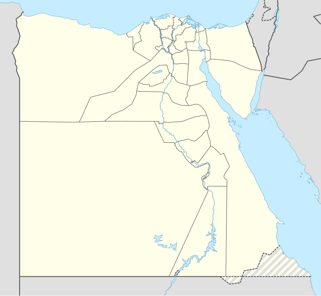
English: Location map of Egypt
|
||||||||||||
| تاریخ | |||||||||||||
| ماخذ |
Own work using:
|
||||||||||||
| مصنف | NordNordWest | ||||||||||||
| SVG genesis | This map was created with Adobe Illustrator.
|
||||||||||||

اجازہ کاری
Usage of this file with:

explanatory notes: Legally binding is only the full legalcode. For a free usage I recommend to respect the following licence conditions:
1. Provide my name as given above: NordNordWest,
2. a copy of, or the URI for, the applicable license: https://creativecommons.org/licenses/by-sa/3.0/de/legalcode,
3. the title of the work,
4. in the case of an adaptation, a credit identifying the use of the work in the adaptation.
This license and the rights granted hereunder will terminate automatically upon any breach by you of the terms of this license. Any of the above conditions can be waived if you get permission from the copyright holder. If you have questions or wish differing conditions, please contact me through nnwest or my discussion page ![]() t-online.de
t-online.de
- آپ آزاد ہیں:
- شیئر کرنے – کام کو نقل، تقسیم یا منتقل کرنے کے لیے
- ریمکس کے لیے – کام منبطق کرنے کے لیے
- مندرجہ ذیل شرائط کے تحت:
- انتساب – آپ کو اس کام کا انتساب مصنف یا اجازت دہندہ کے بتائے گئے طریقہ کے مطابق دینا ہوگا (تاہم یہ انتساب اس طرح نہیں ہونا چاہیے کہ اسے دیکھ کر ایسا محسوس ہو کہ اصل مصنف یا اجازت دہندہ آپ کے یا آپ کے ذریعہ اس کام کے استعمال کرنے کے حامی ہیں)۔
- یکساں شراکت – اگر آپ اس کام میں کوئی تبدیلی یا ترمیم کرتے ہیں یا اس کام پر مبنی کچھ نیا بناتے ہیں تو اسے بھی آپ اسی یا اس جیسے کسی اجازت نامے کے تحت شائع کر سکتے ہیں۔

فائل کا تاریخچہ
کسی خاص وقت یا تاریخ میں یہ فائل کیسی نظر آتی تھی، اسے دیکھنے کے لیے اس وقت/تاریخ پر کلک کریں۔
| تاریخ/وقت | تھمب نیل | ابعاد | صارف | تبصرہ | |
|---|---|---|---|---|---|
| رائج الوقت | 20:51، 17 جنوری 2017ء | | 1,055 × 973 (331 کلوبائٹ) | NordNordWest | corr |
| 16:48، 9 نومبر 2014ء |  | 1,055 × 973 (331 کلوبائٹ) | NordNordWest | == {{int:filedesc}} == {{Information |Description= {{de|1=Positionskarte von Ägypten}} {{en|1=Location map of Egypt}} {{Location map series N |stretching=111,8685 |top=32.1 |bottom=21.3 |left=24.2 |right=37.3 }} |Source={{Own using}} * United States N... |
روابط
درج ذیل 76 صفحات اس فائل کو استعمال کر رہے ہیں:
- ابو صیر
- اشتاووی
- اشمونین
- الرحاب (قاہرہ)
- الشروق
- الفنطینے
- القطائع
- المہندسین
- امبابہ
- اواریس
- باکوس
- بدر، مصر
- بر رمسیس
- تانیس
- جدید قاہرہ
- جدید ہیلیوپولس
- حلایب
- حلوان، قاہرہ
- حمرہ دوم
- خان الخلیلی
- دار الحکومت بین الاقوامی ہوائی اڈا (مصر)
- دقی
- زیریں مصر
- سفنکس بین الاقوامی ہوائی اڈا
- سینٹ کیتھرائن مصر
- شربین، مصر
- شیخ زاید شہر
- صحرائے ابیض قومی پارک
- طابا، مصر
- عباسیہ
- عين شمس (قاہرہ)
- عین السخنہ
- قاہرہ بین الاقوامی ہوائی اڈا
- قصبہ رضوان بے
- قلعہ بابلیون
- كفر طحلہ
- مجموعہ سلطان الاشرف غوری
- مجموعہ سلطان قایتبائی
- مدرسہ ام سلطان شعبان
- مدرسہ امیر سنقر السعدی
- مدینتی
- مرسی علم
- مرنیپتاہ نسخہ
- مزار طربی الشریفی
- مسجد ابو ذہب
- مسجد البردینی
- مسجد الرحمن الرحیم
- مسجد الرفاعی
- مسجد الناصر محمد
- مسجد جمال الدین یوسف الاستادار
- مسجد جمال عبد الناصر
- مسجد سلطان المؤید
- مسجد سنان پاشا (قاہرہ)
- مسجد سیدہ زینب
- مسجد صالح طلائع
- مسجد قجماس الاسحاقی
- مسجد و خانقاہ الاشرف برسبای
- مسجد و مدرسہ الاشرف برسبای
- مسجد و مدرسہ امیر خایر بک
- معادی
- معلق گرجا گھر
- مقبرہ سلطانیہ
- منیا بس حملہ 2018ء
- میت عقبہ
- میندیس
- ناگ حمادی
- نخل (مصر)
- نوباریہ الجدیدہ
- نویبع
- نیا انتظامی دار الحکومت
- وادی الجمال و جبل حماطہ محفوظ علاقہ
- پورٹ فواد
- پیلوزیوم
- کرداسہ
- کلایسما
- ہیراکلیوپولس میگنا
فائل کا عالمی استعمال
مندرجہ ذیل ویکیوں میں یہ فائل زیر استعمال ہے:
- af.wikipedia.org پر استعمال
- an.wikipedia.org پر استعمال
- ar.wikipedia.org پر استعمال
اس فائل کا مزید عالمی استعمال دیکھیے۔