فائل:NasaBenelux.jpg
اس نمائش کا حجم: 374 × 598 پکسلز۔ دیگر تصمیمات: 150 × 240 پکسلز | 300 × 480 پکسلز | 480 × 768 پکسلز | 1,258 × 2,013 پکسلز۔
اصل فائل (1,258 × 2,013 پکسل، فائل کا حجم: 1.38 MB، MIME قسم: image/jpeg)
خلاصہ
| تفصیل |
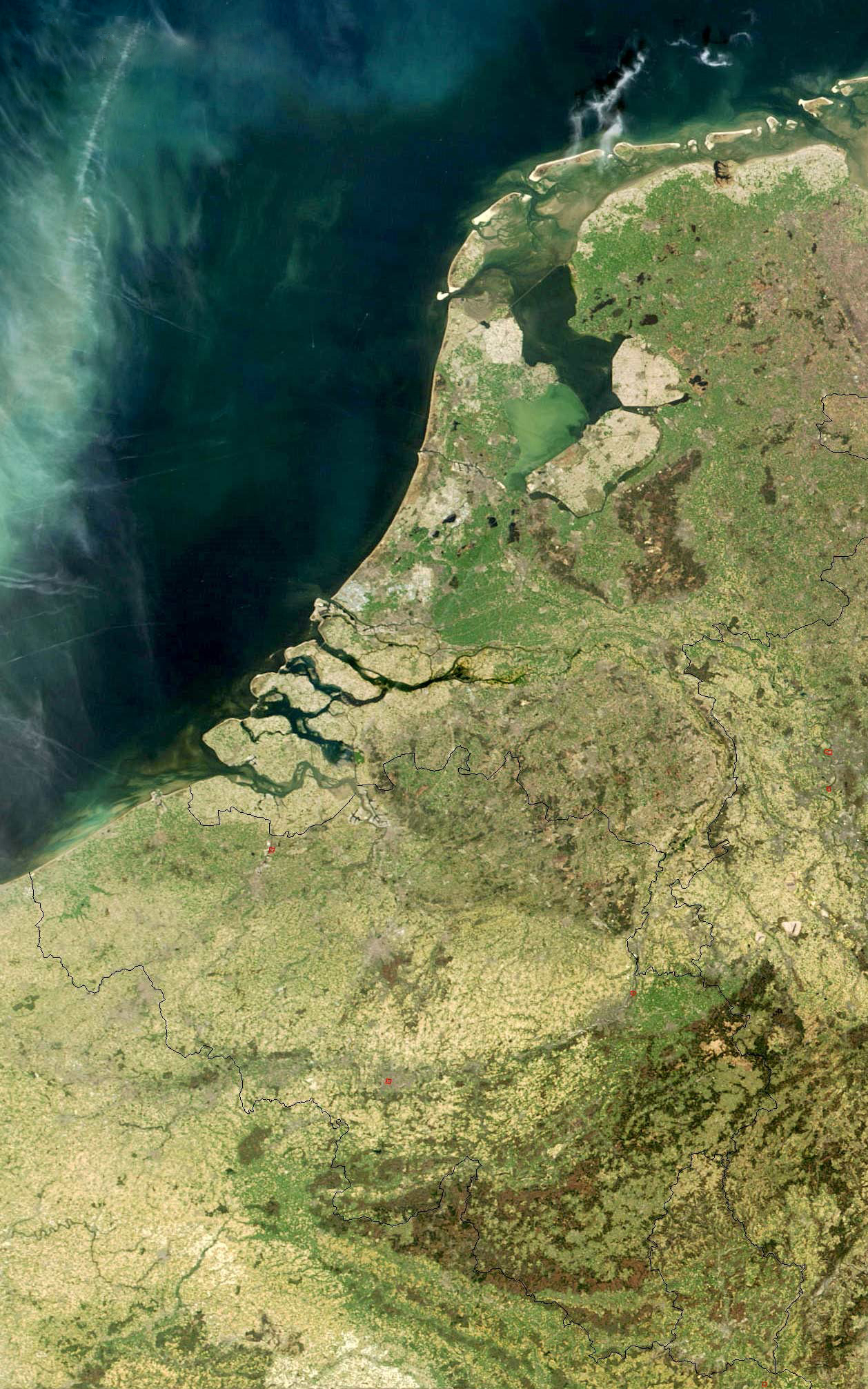
English: Satellite photo of Belgium, Luxembourg, and the Netherlands from NASA
Nederlands: Satellietfoto van België, Nederland en Luxemburg
Oorspronkelijke url: visibleearth.nasa.gov/images/5331/LowCountries.A2003105.1030.250m.jpg Gebruik vrij en toegestaan met verwijzing naar nl:Nasa Visible Earth Ed Stevenhagen 3 aug 2005 19:04 (CEST) |
| ماخذ |
url: visibleearth.nasa.gov/images/5331/LowCountries.A2003105.1030.250m.jpg |
| مصنف | NASA |

|
Attribution information, such as the author's name, e-mail, website, or signature, that was once visible in the image itself has been moved into the image metadata and/or image description page. This makes the image easier to reuse and more language-neutral, and makes the text easier to process and search for. Commons discourages placing visible author information in images.
|
اجازہ کاری
| This file is in the public domain in the United States because it was solely created by NASA. NASA copyright policy states that "NASA material is not protected by copyright unless noted". (See Template:PD-USGov, NASA copyright policy page or JPL Image Use Policy.) | ||
 |
Warnings:
|
اولین اپلوڈ کا نوشتہ
فائل کی تفصیلات کا اصل صفحہ یہاں تھا۔ درج ذیل تمام صارفین nl.wikipedia کے ہیں۔
- 2005-08-03 17:04 Ed Stevenhagen 1408×2052×8 (465271 bytes) Satellietfoto van België, Nederland en Luxemburg Ooorspronkelijke url: visibleearth.nasa.gov/images/5331/LowCountries.A2003105.1030.250m.jpg Gebruik vrij en toegestaan met verwijzing naar [[Nasa Visible Earth]] ~~~~
فائل کا تاریخچہ
کسی خاص وقت یا تاریخ میں یہ فائل کیسی نظر آتی تھی، اسے دیکھنے کے لیے اس وقت/تاریخ پر کلک کریں۔
| تاریخ/وقت | تھمب نیل | ابعاد | صارف | تبصرہ | |
|---|---|---|---|---|---|
| رائج الوقت | 21:39، 21 اپریل 2012ء | | 1,258 × 2,013 (1.38 MB) | Centpacrr | wmr |
| 18:51، 14 اگست 2009ء |  | 1,258 × 2,013 (674 کلوبائٹ) | Tekstman | removed watermark | |
| 20:15، 7 مارچ 2008ء |  | 1,408 × 2,052 (454 کلوبائٹ) | File Upload Bot (Magnus Manske) | {{BotMoveToCommons|nl.wikipedia}} {{Information |Description={{nl|Satellietfoto van België, Nederland en Luxemburg Oorspronkelijke url: visibleearth.nasa.gov/images/5331/LowCountries.A2003105.1030.250m.jpg Gebruik vrij en toegestaan met verwijzing naa |
روابط
درج ذیل صفحہ اس فائل کو استعمال کر رہا ہے:
فائل کا عالمی استعمال
مندرجہ ذیل ویکیوں میں یہ فائل زیر استعمال ہے:
- ar.wikipedia.org پر استعمال
- el.wikipedia.org پر استعمال
- en.wikipedia.org پر استعمال
- Low Countries
- Wikipedia:WikiProject Former countries/Holy Roman Empire task force
- User talk:Esoxid
- User talk:Bentoro
- User talk:Moswento
- Wikipedia:Graphics Lab/Photography workshop/Eight Requests/Archive/2012
- User talk:Jethro B
- User talk:Jesus Presley/Archive
- User talk:PhnomPencil/Archive2
- User talk:RexRowan/Archive 5
- User talk:Horai 551
- User talk:Sahara4u/Archive 2
- User:NiederlandeFW
- User talk:Wer900/Archive1
- User talk:GDibyendu/archive4
- Wikipedia:Articles for improvement/Archives/2013 schedule
- User talk:Revolution1221
- User talk:Kenanwang
- User talk:Toshio Yamaguchi/Archive 5
- User talk:Ecpiandy/Archive 10
- User talk:Mafh01
- User talk:ITTechWriterA
- User talk:WaitingForConnection
- User talk:Simplysavvy
- User talk:Jayron32/Archive26
- User talk:Tolly4bolly/Archive 11
- User talk:Andrewman327/Archive 2
- User talk:Ypnypn/Archive 4
- User talk:Ryan Vesey/Archive 26
- User talk:CorporateM/Archive 14
- User talk:Northamerica1000/Archive 11
- User talk:Presidentman/Archives/ 12
- User talk:GiantSnowman/2014
- User talk:Evad37/Archive 3
- User talk:Rcsprinter123/Archives/34
- User talk:Soni/Archive 10
- User talk:Pratyya Ghosh/Archives/17 (2014-01)
- User talk:Vacation9/Archives/2014/January
- User talk:EuroCarGT/Archives/2014/January
- User talk:Flat Out/Archives/2014/January
- User talk:Joe Decker/Archive 14
- User talk:Razr Nation/2014/1
- User talk:ChrisGualtieri/Archive 9
- User talk:Titodutta/Archive 44
- User talk:Miszatomic/Archives/2014 1
- User talk:CopyEdit Bliss
- User talk:Go Phightins!/Archive 28
- User talk:Buffbills7701/Archive 5
اس فائل کا مزید عالمی استعمال دیکھیے۔