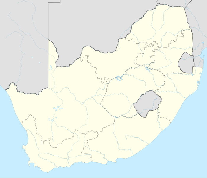
فائل:South Africa adm location map.svg

اصل فائل (ایس وی جی فائل، ابعاد 2,031 × 1,741 پکسل، فائل کا حجم: 458 کلوبائٹ)
خلاصہ
| تفصیل |
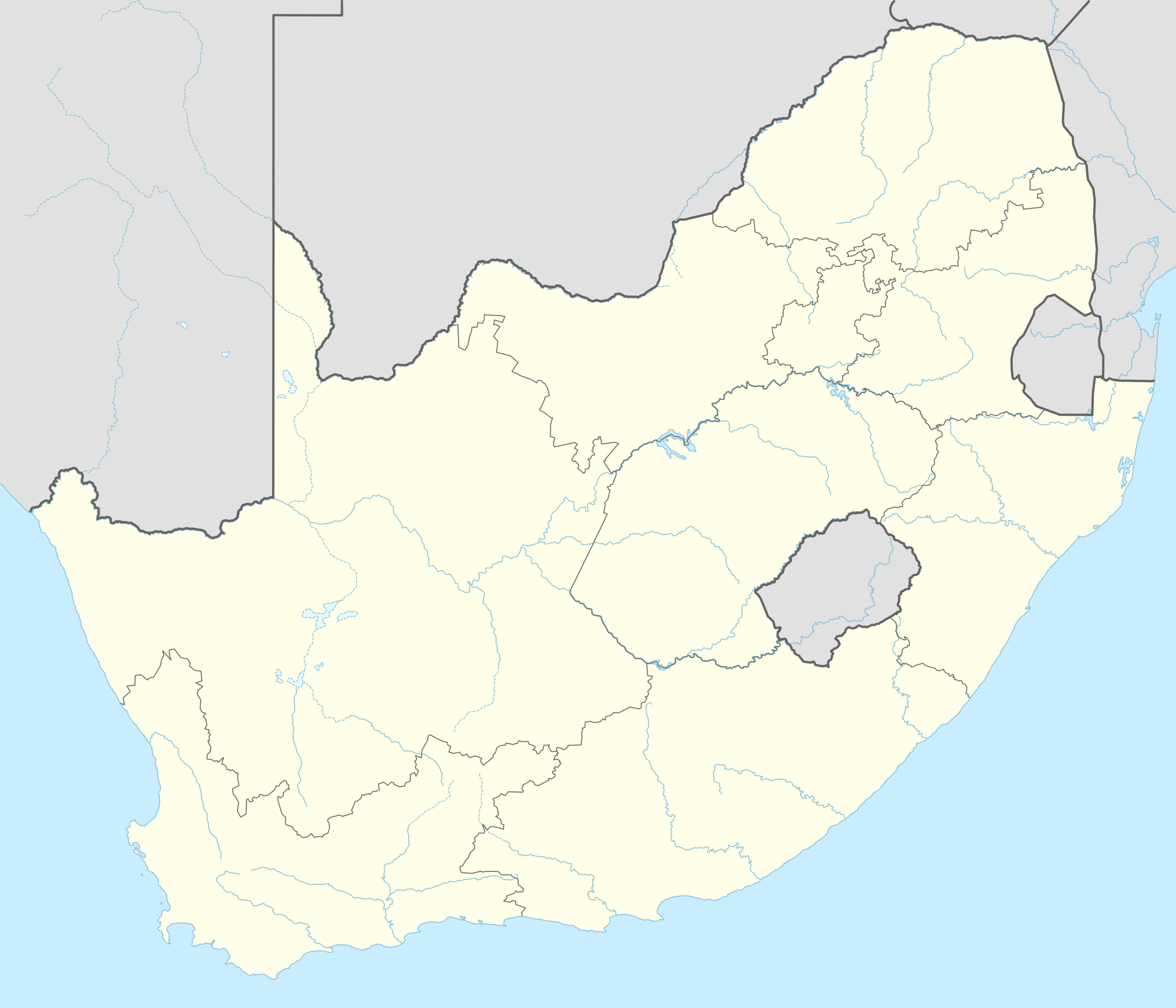
Deutsch: Positionskarte von Südafrika
English: Location map of South Africa
|
||||||||||||
| تاریخ | |||||||||||||
| ماخذ |
Own work using:
|
||||||||||||
| مصنف | NordNordWest | ||||||||||||

|
This map has been made or improved in the German Kartenwerkstatt (Map Lab). You can propose maps to improve as well.
|
اجازہ کاری
Usage of this file with:

explanatory notes: Legally binding is only the full legalcode. For a free usage I recommend to respect the following licence conditions:
1. Provide my name as given above: NordNordWest,
2. a copy of, or the URI for, the applicable license: https://creativecommons.org/licenses/by-sa/3.0/de/legalcode,
3. the title of the work,
4. in the case of an adaptation, a credit identifying the use of the work in the adaptation.
This license and the rights granted hereunder will terminate automatically upon any breach by you of the terms of this license. Any of the above conditions can be waived if you get permission from the copyright holder. If you have questions or wish differing conditions, please contact me through nnwest or my discussion page ![]() t-online.de
t-online.de
- آپ آزاد ہیں:
- شیئر کرنے – کام کو نقل، تقسیم یا منتقل کرنے کے لیے
- ریمکس کے لیے – کام منبطق کرنے کے لیے
- مندرجہ ذیل شرائط کے تحت:
- انتساب – آپ کو اس کام کا انتساب مصنف یا اجازت دہندہ کے بتائے گئے طریقہ کے مطابق دینا ہوگا (تاہم یہ انتساب اس طرح نہیں ہونا چاہیے کہ اسے دیکھ کر ایسا محسوس ہو کہ اصل مصنف یا اجازت دہندہ آپ کے یا آپ کے ذریعہ اس کام کے استعمال کرنے کے حامی ہیں)۔
- یکساں شراکت – اگر آپ اس کام میں کوئی تبدیلی یا ترمیم کرتے ہیں یا اس کام پر مبنی کچھ نیا بناتے ہیں تو اسے بھی آپ اسی یا اس جیسے کسی اجازت نامے کے تحت شائع کر سکتے ہیں۔

فائل کا تاریخچہ
کسی خاص وقت یا تاریخ میں یہ فائل کیسی نظر آتی تھی، اسے دیکھنے کے لیے اس وقت/تاریخ پر کلک کریں۔
| تاریخ/وقت | تھمب نیل | ابعاد | صارف | تبصرہ | |
|---|---|---|---|---|---|
| رائج الوقت | 18:17، 2 فروری 2015ء | | 2,031 × 1,741 (458 کلوبائٹ) | NordNordWest | == {{int:filedesc}} == {{Information |Description= {{de|1=Positionskarte von Südafrika}} {{en|1=Location map of South Africa}} {{Location map series N |stretching=110 |top=-21.8 |bottom=-35.2 |left=16.0 |right=33.2 }} |Source={{Own using}} * United St... |
روابط
درج ذیل 47 صفحات اس فائل کو استعمال کر رہے ہیں:
- آئی سی سی خواتین ٹی20 عالمی کپ 2023ء
- آکلینڈ پارک
- البرٹن، جنوبی افریقہ
- الیوال نارتھ
- انندا، گوٹینگ
- ایبٹس فورڈ، جوہانسبرگ
- ایس-اے20 (کرکٹ)
- ایس-اے20 23-2022ء
- ایلس برگ
- ایڈیلیڈ، جنوبی افریقہ
- بارکلی ایسٹ
- برائنسٹن، گوٹینگ
- برلن، جنوبی افریقا
- بریکپن
- بشمانزریورماؤتھ
- بوکسبرگ
- تسولو
- جرمسٹن
- جوبرٹ پارک
- دی ہل، گوٹینگ
- رینڈبرگ
- رینڈفونٹین
- سمرسیٹ ایسٹ
- سینٹ مارکس، جنوبی افریقہ
- سینچورین، گاؤٹینگ
- فلوریڈا، گوٹینگ
- فیفا عالمی کپ اسٹیڈیموں کی فہرست
- لیٹلٹن، گوٹینگ
- مڈلبرگ، مشرقی کیپ
- مکھنڈا، جنوبی افریقہ
- ولوویل، جنوبی افریقہ
- ویرینگنگ
- ٹروئیویل
- پارک ٹاؤن
- پورٹ الفریڈ
- پورٹ سینٹ جانز
- کالا، جنوبی افریقہ
- کروگرزڈورپ
- کریڈاک، جنوبی افریقہ
- کوئینز ٹاؤن، جنوبی افریقہ
- کونس
- کیمپٹن پارک، جنوبی افریقہ
- کینیل ورتھ، جوہانسبرگ
- گراف-رینیٹ
- ہائیڈ پارک، گوٹینگ
- ہلبرو
- یوٹینہیج
فائل کا عالمی استعمال
مندرجہ ذیل ویکیوں میں یہ فائل زیر استعمال ہے:
- ab.wikipedia.org پر استعمال
- af.wikipedia.org پر استعمال
- Barberton (dubbelsinnig)
- Vredefortkoepel
- Wellington
- FIFA Sokker-Wêreldbekertoernooi in 2010
- Fietas
- Hatfield, Pretoria
- Olifantsrivier
- Langeberg
- Wêrelderfenisgebiede in Suid-Afrika
- Adelaide
- Springbokke
- Gebruiker:SpesBona
- Rugbywêreldbeker 1995
- Aberdeen (dubbelsinnig)
- Emmaus
- Gebruiker:BenBezuidenhout/Sandput
- FIFA Sokker-Konfederasiebeker in 2009
- Sebokeng
- Augrabieswaterval
- Moordenaarskaroo
- Wildekus
- Kliprivier
- Tsitsawaterval
- Premiersokkerliga
- Swartrivier (dubbelsinnig)
- Proteas
- Buffelsrivier
- Mooirivier (dubbelsinnig)
- Wilgerivier
- Afrikanasiesbeker 2013
- Pondoland
- Warrenton
- Boipatong
- UMgungundlovu
- Boesmansrivier (dubbelsinnig)
- Boesmanspruit (Watervalrivier, Mpumalanga)
- Ngqura-hawe
- Mountain View
- Suid-Afrikaanse Lugmagmuseum
- Rugby-uitdaagreeks
- Vier-en-twintig Riviere
- Verenigde Rugbykampioenskap
- Elandsrivier (meersinnig)
- Afrikanasiesbeker 1996
- Krieketwêreldbeker 2003
- Spitskopdam
- Blinkwaterspruit
- Heuningspruit
اس فائل کا مزید عالمی استعمال دیکھیے۔