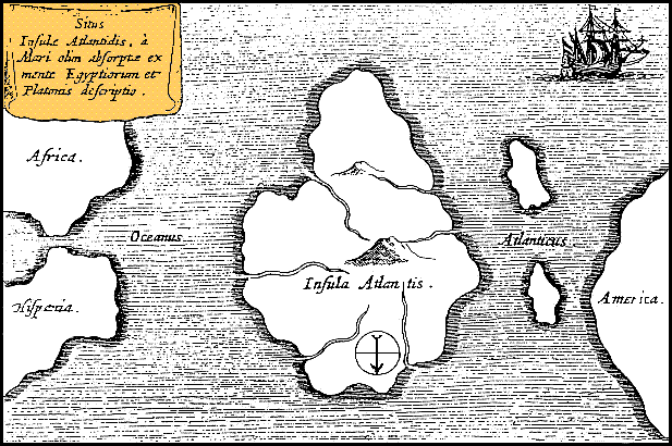
فائل:Athanasius Kircher's Atlantis.gif
Athanasius_Kircher's_Atlantis.gif (617 × 410 پکسل، فائل کا حجم: 36 کلوبائٹ، MIME قسم: image/gif)
فائل کا تاریخچہ
کسی خاص وقت یا تاریخ میں یہ فائل کیسی نظر آتی تھی، اسے دیکھنے کے لیے اس وقت/تاریخ پر کلک کریں۔
| تاریخ/وقت | تھمب نیل | ابعاد | صارف | تبصرہ | |
|---|---|---|---|---|---|
| رائج الوقت | 12:39، 15 اکتوبر 2013ء |  | 617 × 410 (36 کلوبائٹ) | AnonMoos | Reverted to version as of 01:05, 29 December 2005 -- rotating image turned text upside down |
| 12:37، 15 اکتوبر 2013ء |  | 617 × 410 (36 کلوبائٹ) | Rotatebot | Bot: Image rotated by 180° | |
| 01:05، 29 دسمبر 2005ء |  | 617 × 410 (36 کلوبائٹ) | Comae | Tomado de en.wikipedia, donde dice: Author: Athanasius_Kircher's Map of Atlantis (c.1669) Source: http://atlants.haktanir.org/ch3.html This image is in the public domain because its copyright has expired in the United States and those countries with a c |
روابط
درج ذیل صفحہ اس فائل کو استعمال کر رہا ہے:
فائل کا عالمی استعمال
مندرجہ ذیل ویکیوں میں یہ فائل زیر استعمال ہے:
- af.wikipedia.org پر استعمال
- an.wikipedia.org پر استعمال
- ar.wikipedia.org پر استعمال
- ar.wikiversity.org پر استعمال
- ast.wikipedia.org پر استعمال
- az.wikipedia.org پر استعمال
- be-tarask.wikipedia.org پر استعمال
- beta.wikiversity.org پر استعمال
- be.wikipedia.org پر استعمال
- bg.wikipedia.org پر استعمال
- bn.wikipedia.org پر استعمال
- ca.wikipedia.org پر استعمال
- ceb.wikipedia.org پر استعمال
- cs.wikipedia.org پر استعمال
- de.wikipedia.org پر استعمال
- diq.wikipedia.org پر استعمال
- el.wikipedia.org پر استعمال
- en.wikipedia.org پر استعمال
- en.wikibooks.org پر استعمال
- en.wikiversity.org پر استعمال
- en.wikivoyage.org پر استعمال
- eo.wikipedia.org پر استعمال
- es.wikipedia.org پر استعمال
- es.wikibooks.org پر استعمال
- et.wikipedia.org پر استعمال
- eu.wikipedia.org پر استعمال
- fi.wikibooks.org پر استعمال
- fr.wiktionary.org پر استعمال
- fy.wikipedia.org پر استعمال
- gl.wikipedia.org پر استعمال
اس فائل کا مزید عالمی استعمال دیکھیے۔


