فائل:India location map2.svg

اس SVG فائل کی PNG نمائش کا حجم: 557 × 600 پکسلز دیگر تصمیمات: 223 × 240 پکسلز | 446 × 480 پکسلز | 713 × 768 پکسلز | 951 × 1,024 پکسلز | 1,902 × 2,048 پکسلز | 1,500 × 1,615 پکسلز۔
اصل فائل (ایس وی جی فائل، ابعاد 1,500 × 1,615 پکسل، فائل کا حجم: 1.69 MB)

|
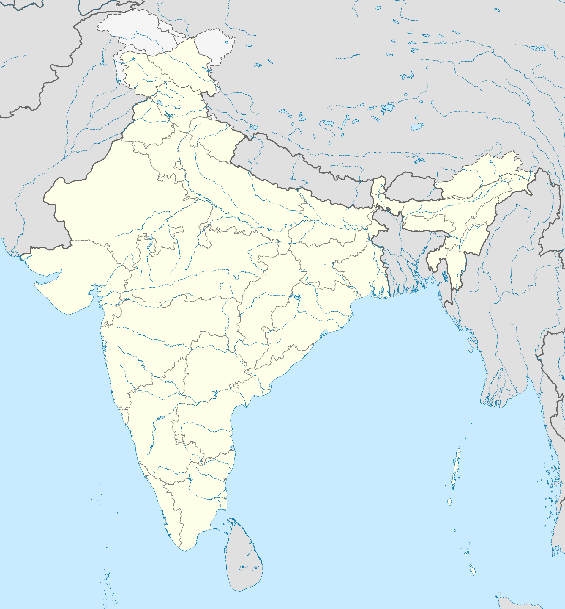
The boundaries on this map show the de facto situation. This is just one of several different views on the subject (see COM:NPOV). |
خلاصہ
| تفصیل |
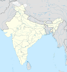
English: Location map of India. Equirectangular projection. Strechted by 106.0%. Geographic limits of the map: * N: 37.5° N * S: 5.0° N * W: 67.0° E * E: 99.0° E Made with Natural Earth. Free vector and raster map data @ naturalearthdata.com. |
| تاریخ | |
| ماخذ | Own work based on: File:India location map.svg by Uwe Dedering at de:Wp |
| مصنف | AshwiniKalantri |
| دوسرے نسخے |
[]
|
| SVG genesis |


اجازہ کاری
میں اس کام کا کاپی رائٹ ہولڈر ہوں اور اسے مندرجہ ذیل اجازت ناموں کے تحت شائع کیا ہے:
اس ملف کا لائسنس Creative Commons Attribution-Share Alike 3.0 Unported کے تحط ہے۔
- آپ آزاد ہیں:
- شیئر کرنے – کام کو نقل، تقسیم یا منتقل کرنے کے لیے
- ریمکس کے لیے – کام منبطق کرنے کے لیے
- مندرجہ ذیل شرائط کے تحت:
- انتساب – آپ کو اس کام کا انتساب مصنف یا اجازت دہندہ کے بتائے گئے طریقہ کے مطابق دینا ہوگا (تاہم یہ انتساب اس طرح نہیں ہونا چاہیے کہ اسے دیکھ کر ایسا محسوس ہو کہ اصل مصنف یا اجازت دہندہ آپ کے یا آپ کے ذریعہ اس کام کے استعمال کرنے کے حامی ہیں)۔
- یکساں شراکت – اگر آپ اس کام میں کوئی تبدیلی یا ترمیم کرتے ہیں یا اس کام پر مبنی کچھ نیا بناتے ہیں تو اسے بھی آپ اسی یا اس جیسے کسی اجازت نامے کے تحت شائع کر سکتے ہیں۔
This file is licensed under the Creative Commons Attribution-Share Alike 3.0 Germany license.
- آپ آزاد ہیں:
- شیئر کرنے – کام کو نقل، تقسیم یا منتقل کرنے کے لیے
- ریمکس کے لیے – کام منبطق کرنے کے لیے
- مندرجہ ذیل شرائط کے تحت:
- انتساب – آپ کو اس کام کا انتساب مصنف یا اجازت دہندہ کے بتائے گئے طریقہ کے مطابق دینا ہوگا (تاہم یہ انتساب اس طرح نہیں ہونا چاہیے کہ اسے دیکھ کر ایسا محسوس ہو کہ اصل مصنف یا اجازت دہندہ آپ کے یا آپ کے ذریعہ اس کام کے استعمال کرنے کے حامی ہیں)۔
- یکساں شراکت – اگر آپ اس کام میں کوئی تبدیلی یا ترمیم کرتے ہیں یا اس کام پر مبنی کچھ نیا بناتے ہیں تو اسے بھی آپ اسی یا اس جیسے کسی اجازت نامے کے تحت شائع کر سکتے ہیں۔


|
آپ کو آزاد سافٹ ویئر فاؤنڈیشن کی جانب سے شائع کردہ جی این یو آزاد مسوداتی اجازت نامہ کی شرائط استعمال کے تحت اس دستاویز کو نقل، تقسیم اور/ یا ترمیم کرنے کی اجازت دی جاتی ہے۔ اس اجازت نامہ کی ایک نقل 'جی این یو آزاد مسوداتی اجازت نامہ کے عنوان سے میسر ہے۔ |
آپ حسب منشا اجازت نامہ منتخب کر سکتے ہیں۔
اولین اپلوڈ کا نوشتہ
This image is a derivative work of the following images:
- File:India location map.svg licensed with Cc-by-sa-3.0, Cc-by-sa-3.0-de, GFDL
- 2011-01-18T16:10:27Z Uwe Dedering 1500x1615 (2478400 Bytes) Reverted to version as of 15:50, 17 January 2011 and again, layer structure destroyed, and first discuss this!
- 2011-01-17T19:04:20Z AshwiniKalantri 1500x1615 (1593649 Bytes) The disputed land of Kashmir are shown in a different shade.
- 2011-01-17T15:50:03Z Uwe Dedering 1500x1615 (2478400 Bytes) Reverted to version as of 11:34, 22 September 2010 vandalism
- 2011-01-16T23:30:30Z AshwiniKalantri 1500x1615 (2104259 Bytes) {{Information |Description=Location Map of India |Source= |Date= |Author= |Permission= |other_versions= }}
- 2010-09-22T11:34:41Z BishkekRocks 1500x1615 (2478400 Bytes) The area north of the Siachen Glacier is also part of Chinese-controlled Kashmir.
- 2010-08-31T16:36:47Z Uwe Dedering 1500x1615 (2412750 Bytes) Coloured Pakistani-controlled parts of Kashmir in dark grey & Chinese-controlled Kashmir also. no reason to treat them differently.
- 2010-08-31T11:26:31Z AnonyLog 1500x1615 (2104259 Bytes) A lighter shade is used for uniformity with other maps of India and Pakistan on Wikipedia.
- 2010-05-05T16:44:39Z Uwe Dedering 1500x1615 (2412750 Bytes) Reverted to version as of 12:26, 3 March 2010 make them dark-grey if you wish....
- 2010-05-05T15:43:19Z BishkekRocks 1500x1615 (2104259 Bytes) Coloured Pakistani-controlled parts of Kashmir in light grey (like Chinese-controlled Kashmir). Alternatively colour both in dark grey, no reason to treat them differently.
- 2010-03-03T12:26:13Z Uwe Dedering 1500x1615 (2412750 Bytes) {{Information |Description={{en|Location map of India. Equirectangular projection. Strechted by 106.0%. Geographic limits of the map: * N: 37.5° N * S: 5.0° N * W: 67.0° E * E: 99.0° E Made with Natural Earth. Free vector
Uploaded with derivativeFX
فائل کا تاریخچہ
کسی خاص وقت یا تاریخ میں یہ فائل کیسی نظر آتی تھی، اسے دیکھنے کے لیے اس وقت/تاریخ پر کلک کریں۔
| تاریخ/وقت | تھمب نیل | ابعاد | صارف | تبصرہ | |
|---|---|---|---|---|---|
| رائج الوقت | 13:48، 14 اکتوبر 2020ء | | 1,500 × 1,615 (1.69 MB) | NordNordWest | upd Telangana/Andhra Pradesh |
| 10:58، 2 نومبر 2019ء |  | 1,500 × 1,615 (1.65 MB) | NordNordWest | upd Jammu and Kashmir | |
| 08:59، 3 جون 2014ء |  | 1,500 × 1,615 (1.63 MB) | NordNordWest | + Telangana | |
| 12:58، 11 جون 2012ء |  | 1,500 × 1,615 (1.54 MB) | NordNordWest | adding waterbodies | |
| 20:30، 25 فروری 2011ء |  | 1,500 × 1,615 (1.57 MB) | AshwiniKalantri | {{Information |Description={{en|Location map of India. Equirectangular projection. Strechted by 106.0%. Geographic limits of the map: * N: 37.5° N * S: 5.0° N * W: 67.0° E * E: 99.0° E Made with Natural Earth. Free vector and raster map data @ natural |
روابط
درج ذیل صفحہ اس فائل کو استعمال کر رہا ہے:
فائل کا عالمی استعمال
مندرجہ ذیل ویکیوں میں یہ فائل زیر استعمال ہے:
- als.wikipedia.org پر استعمال
- as.wikipedia.org پر استعمال
- az.wikipedia.org پر استعمال
- bh.wikipedia.org پر استعمال
- de.wikipedia.org پر استعمال
- Indien
- Varanasi
- Bhopal
- Taj Mahal
- Rajgir
- Dharamsala
- Neu-Delhi
- Mumbai
- Kolkata
- Darjeeling (Stadt)
- Prayagraj
- Ahmedabad
- Chandigarh
- Amritsar
- Chennai
- Bengaluru
- Tharangambadi
- Qadian
- Hyderabad (Indien)
- Kozhikode
- Agartala
- Pune
- Agra
- Auroville
- Hampi
- Sarnath
- Jaipur
- Leh
- Katastrophe von Bhopal
- Mahe (Indien)
- Deoband
- Srinagar
- Vrindavan
- Velha Goa
- Patna
- Bodhgaya
- Madurai
اس فائل کا مزید عالمی استعمال دیکھیے۔