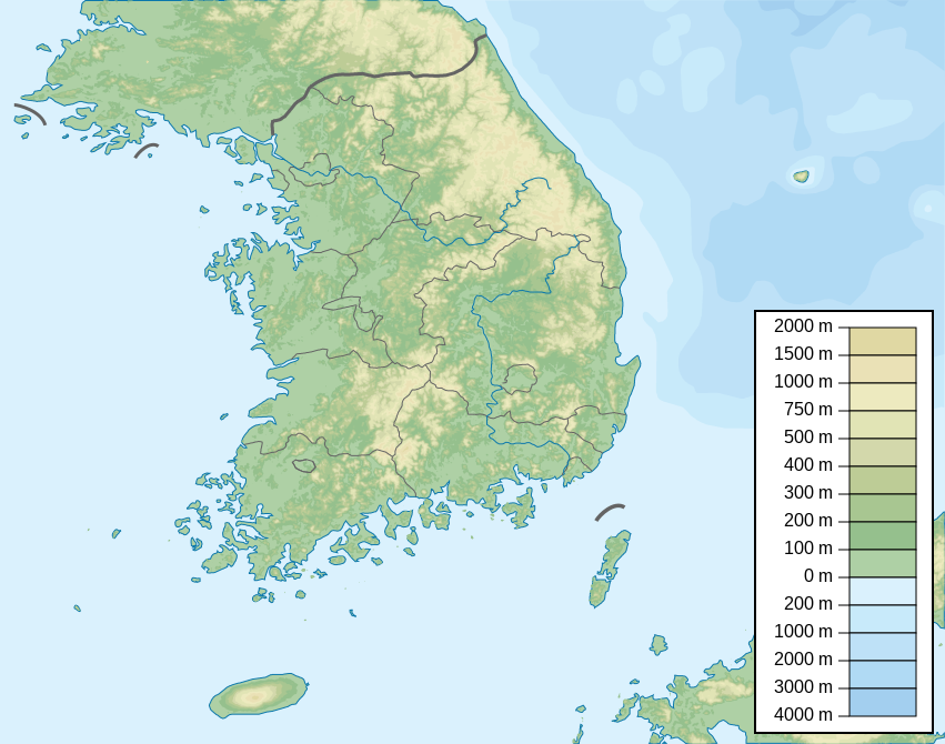
فائل:South Korea physical map.svg

اس SVG فائل کی PNG نمائش کا حجم: 762 × 600 پکسلز دیگر تصمیمات: 305 × 240 پکسلز | 610 × 480 پکسلز | 976 × 768 پکسلز | 1,280 × 1,008 پکسلز | 2,560 × 2,016 پکسلز | 851 × 670 پکسلز۔
اصل فائل (ایس وی جی فائل، ابعاد 851 × 670 پکسل، فائل کا حجم: 1.66 MB)
خلاصہ
| تفصیل | Map of South Korea, parameters equivalent to File:South Korea location map.svg |
| تاریخ | |
| ماخذ | ذاتی کام |
| مصنف | Urutseg |
| SVG genesis | This locator map was created with Inkscape. |
اجازہ کاری
میں اس تخلیقی کام کے حقوق کا مالک ہوں اور اسے مندرجہ ذیل اجازت نامے کے تحت شائع کرتا ہوں:
| This file is made available under the Creative Commons CC0 1.0 Universal Public Domain Dedication. | |
| The person who associated a work with this deed has dedicated the work to the public domain by waiving all of their rights to the work worldwide under copyright law, including all related and neighboring rights, to the extent allowed by law. You can copy, modify, distribute and perform the work, even for commercial purposes, all without asking permission.
|
فائل کا تاریخچہ
کسی خاص وقت یا تاریخ میں یہ فائل کیسی نظر آتی تھی، اسے دیکھنے کے لیے اس وقت/تاریخ پر کلک کریں۔
| تاریخ/وقت | تھمب نیل | ابعاد | صارف | تبصرہ | |
|---|---|---|---|---|---|
| رائج الوقت | 05:08، 3 جنوری 2023ء | | 851 × 670 (1.66 MB) | Antonsusi | also |
| 05:05، 3 جنوری 2023ء |  | 851 × 670 (1.66 MB) | Antonsusi | validizing | |
| 16:16، 4 جون 2013ء |  | 851 × 670 (1.67 MB) | Garam | - Western Sea Military Demarcation Line | |
| 04:09، 25 جولائی 2011ء |  | 851 × 670 (1.68 MB) | Urutseg | moing legend away from Dokdo(en:Liancourt Rocks) | |
| 18:34، 12 مارچ 2011ء |  | 851 × 670 (1.68 MB) | Urutseg |
روابط
درج ذیل صفحہ اس فائل کو استعمال کر رہا ہے:
فائل کا عالمی استعمال
مندرجہ ذیل ویکیوں میں یہ فائل زیر استعمال ہے:
- arz.wikipedia.org پر استعمال
- ast.wikipedia.org پر استعمال
- azb.wikipedia.org پر استعمال
- ban.wikipedia.org پر استعمال
- ba.wikipedia.org پر استعمال
- be.wikipedia.org پر استعمال
- bn.wikipedia.org پر استعمال
- ca.wikipedia.org پر استعمال
- ceb.wikipedia.org پر استعمال
- ce.wikipedia.org پر استعمال
- ckb.wikipedia.org پر استعمال
- cs.wikipedia.org پر استعمال
- da.wikipedia.org پر استعمال
- de.wikipedia.org پر استعمال
- de.wikivoyage.org پر استعمال
اس فائل کا مزید عالمی استعمال دیکھیے۔