سانچہ:Palestinian territory development
Modern evolution of Palestine
1916–1922 proposals: Three proposals for the post World War I administration of Palestine. The red line is the "International Administration" proposed in the 1916 سائیکس پیکو معاہدہ, the dashed blue line is the 1919 Zionist Organization proposal at the پیرس امن کانفرنس 1919ء, and the thin blue line refers to the final borders of the 1923–48 انتداب فلسطین.
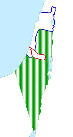
1947 (proposal): Proposal per the United Nations Partition Plan for Palestine (UN General Assembly Resolution 181 (II), 1947), prior to the 1948 Arab–Israeli War. The proposal included a Corpus Separatum for Jerusalem, extraterritorial crossroads between the non-contiguous areas, and یافا as an Arab exclave.
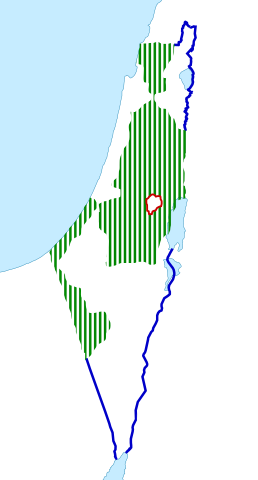
1947 (actual): انتداب فلسطین, showing Jewish-owned regions in Palestine as of 1947 in blue, constituting 6% of the total land area, of which more than half was held by the JNF and PICA. The Jewish population had increased from 83,790 in 1922 to 608,000 in 1946.
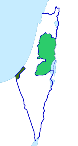
1949–1967 (actual): The Jordanian-annexed West Bank (light green) and غزہ پٹی (dark green), after the 1948 Arab–Israeli War, showing خط اخضر (اسرائیل).
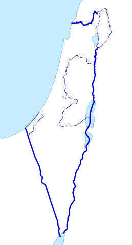
1967–1994: During the 6 روزہ جنگ, Israel captured the West Bank, the Gaza Strip, and the سطح مرتفع گولان, together with the Sinai Peninsula (later traded for peace after the جنگ یوم کپور). In 1980–81 Israel annexed East Jerusalem and the Golan Heights.
Neither Israel's annexation nor Palestine's claim over East Jerusalem has been internationally recognized.
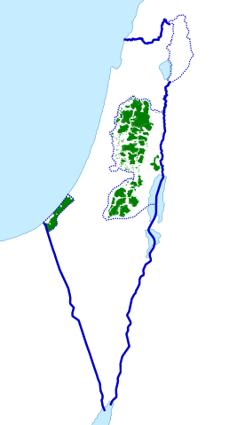
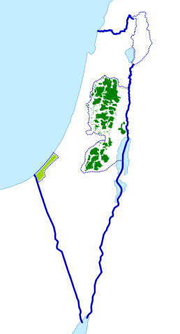
1994–2005: Under the اوسلو معاہدے, the فلسطینی قومی عملداری was created to provide civil government in certain urban areas of the West Bank and the Gaza Strip.
2005–present: After the Israeli disengagement from Gaza and clashes between the two main Palestinian parties following the Hamas electoral victory, two separate executive governments took control in Gaza and the West Bank.

